CHALLENGING Alaska
GEOGRAPHICALLY AND SEISMICALLY CHALLENGING
Alaska ranks high among the world's most seismically active areas. Circles on the map represent earthquakes over the last century with a magnitude of 6.0 and greater, though numerous lower magnitude earthquakes occur daily. The largest recorded earthquake in North America was a magnitude 9.2 that struck Prince William Sound, Alaska, in 1964.
EARTHQUAKE FREQUENCY IN ALASKA
ALASKA’S PROPORTION OF ALL EARTHQUAKES

Alaska experiences approximately 11% of the world's earthquakes and 52% of all earthquakes in the USA.
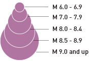
EARTHQUAKE MAGNITUDE

EARTHQUAKE VULNERABILITY
During the Great Alaska Earthquake of 1964, magnitude 9.2, land levels in the Portage area down-dropped as much as 9 feet, causing railroad tracks to buckle.
EARTHQUAKE MAGNITUDE AND INTENSITY

Magnitude 9.0: 477,335,882 tons
Total damage, shockwaves seen on ground surface
Magnitude 8.0: 15,094,673 tons
Wholesale destruction, large landslides
Magnitude 7.0: 477,335 tons
Widespread panic, some structural collapse
Magnitude 6.0: 15,095 tons
Difficult to stand, damage to masonry
Magnitude 5.0: 477 tons
Small objects are upset, sleepers awaken
Magnitude 4.0: 15 tons
Feels like vibration from a nearby truck
Avoiding HIGH-RISK Turnagain Arm
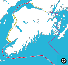
Despite the fact that existing fiber-optic network cables that service Alaska extend from Anchorage south to Portage along Turnagain Arm, planners for the AKORN network identified this area as a particularly high-risk zone and intentionally chose an alternate route along Cook Inlet to avoid potential service disruption.
SNOWFALL AND
AVALANCHE CONDITIONS
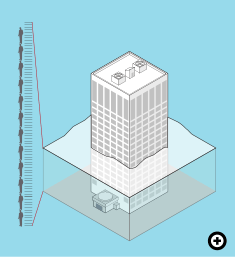
Seasonal snowfall at the top of Mt. Alyeska, located 10 miles north of Portage, is on average approximately 643 inches, or more than 53 feet. During the winter-season period of October, 2011 to May, 2012, the total for Mt. Alyeska was 975 inches (over 81 feet). That’s the equivalent height of a 7-story building.
The Turnagain Arm and Portage area are among the higher snowfall regions in Alaska with avalanches causing road and railroad closures nearly every winter. To reduce danger to public safety along the Seward Highway transportation corridor, it is common practice for the Alaska Department of Transportation to use artillery to blast avalanche-prone areas. Existing fiber-optic network cables run parallel to these same tracks.
EARTHQUAKE VULNERABILITY
During the Great Alaska Earthquake of 1964, magnitude 9.2, land levels in the Portage area down-dropped as much as 9 feet, causing railroad tracks to buckle.
Why AKORN
Modern telecommunications has greatly increased the demand for bandwidth worldwide. Alaska Communications recognized the growing trend and evaluated the importance of connecting Alaska to the Lower 48 and the world.
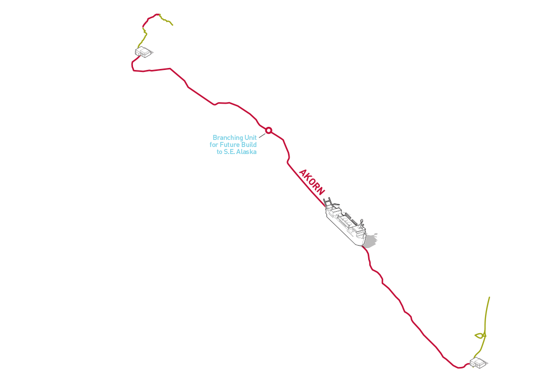
AKORN, the under-sea fiber-optic network between Alaska and Oregon, follows a unique, geographically-diverse secondary path, reducing the potential for critical, long-haul service disruption.
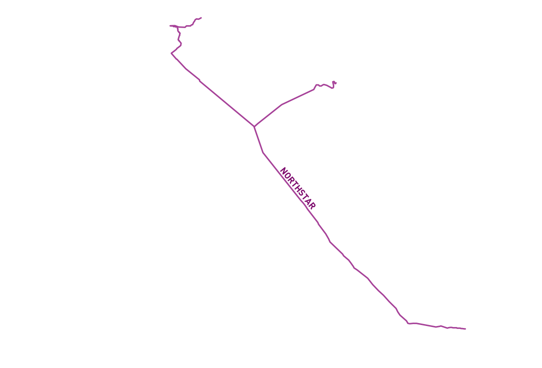
Designed, planned and constructed by Alaska Communications, AKORN affords significantly increased network capacity. Combined with the Alaska Communications’ Northstar fiber-optic network, AKORN provides Alaska with a reliable and redundant telecommunications link to the Lower 48 and the world.
CABLES
AKORN
Northstar
Over-land Cables
